
1909 Rudolstadt map
$0.00
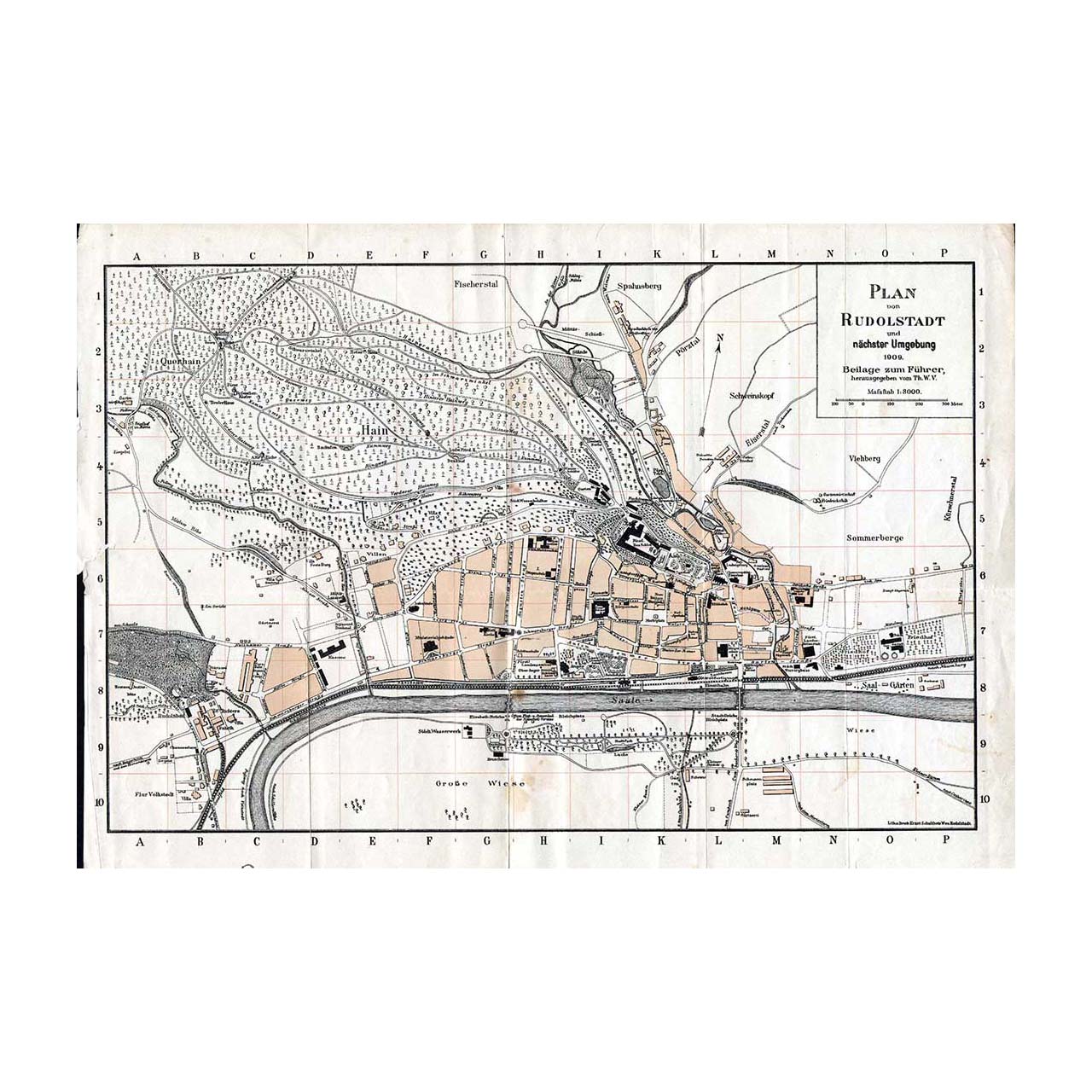
The city plan and map of Rudolstadt from the year 1909. Includes the area of the Anker Stainbaukasten factory in the lower left corner. The download contains a high resolution version.
The city plan and map of Rudolstadt from the year 1909. Includes the area of the Anker Stainbaukasten factory in the lower left corner. The download contains a high resolution version.